Mendenhall Glacier Map: Every Trail, and Which Side of the $5 Line It Is On
Interactive map of Mendenhall Glacier and the Juneau trails around it, colour-coded by the one thing other maps leave out: which trails need the Forest Service pass and which are free.
Most maps of Mendenhall Glacier draw the trails and stop there. The line that actually changes your visit is invisible on all of them: the Forest Service charges to enter the visitor center and the developed ground around it, not the recreation area as a whole, and the trail most people came to walk sits outside that boundary.
So this map is coloured by the fee rather than by difficulty. Green pins cost nothing. Teal pins are inside the paid area, where a day pass is $5 for anyone 16 or over between 1 May and 30 September.
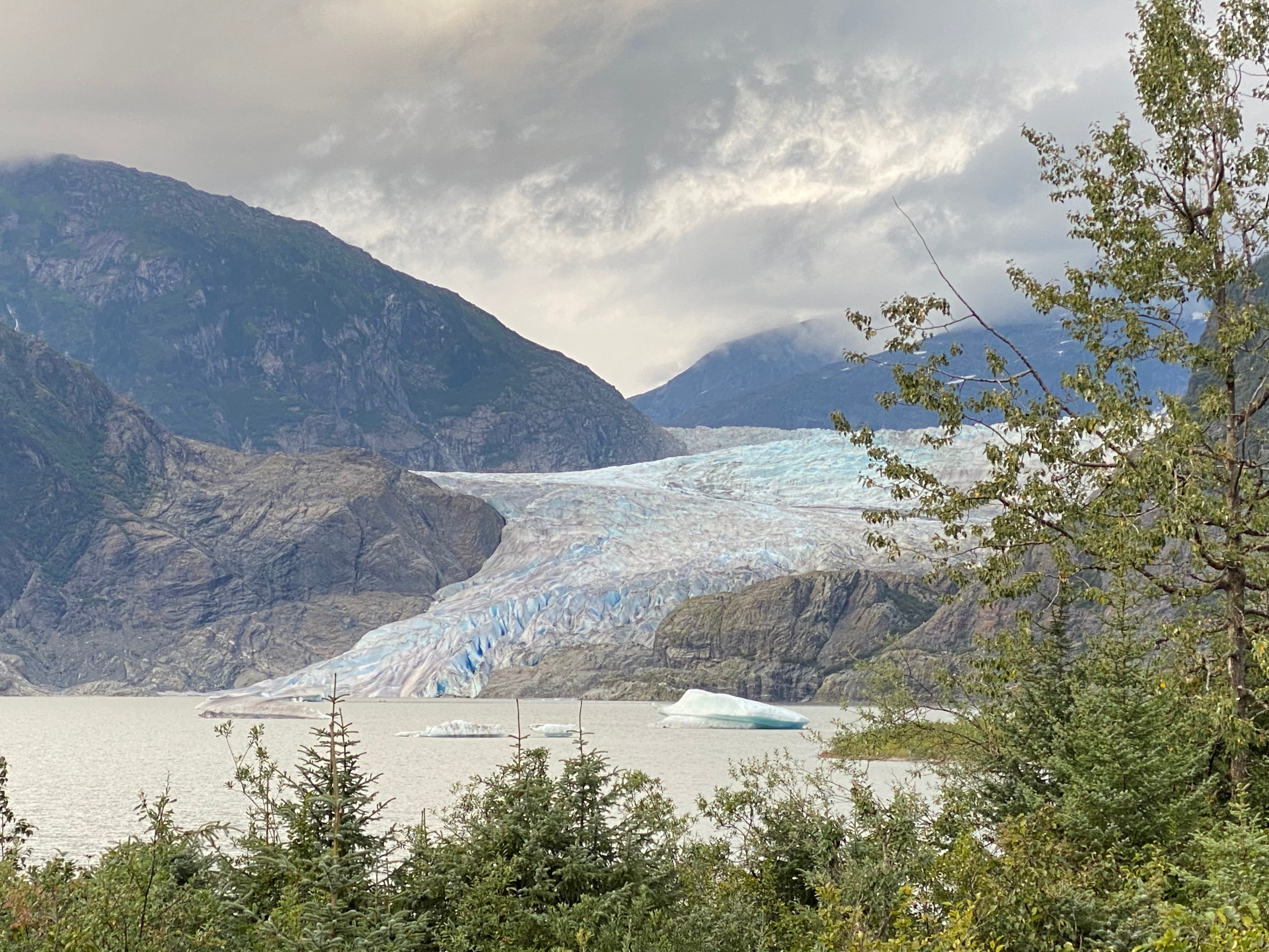
The practical consequence is worth stating plainly, because it is the opposite of what people assume. You can walk out to Nugget Falls, stand at the foot of the waterfall with the glacier beside you, and pay nothing. What the $5 buys you is the building, the interpretive displays, Photo Point, the Steep Creek salmon boardwalk — and the restrooms and the bus shelter, which is the detail that catches out anyone planning a budget day around the $2 city bus.
Grey pins are the arrival end of the trip: the cruise berths, the Downtown Transit Center, and the bus stop that is not where you think it is.
Travellers also search
Tap an area below, or a coloured pin, to light it up; the rest stay as dots. Click any pin for its card, or Locate on a card to fly the map to it. Map data © OpenStreetMap contributors.
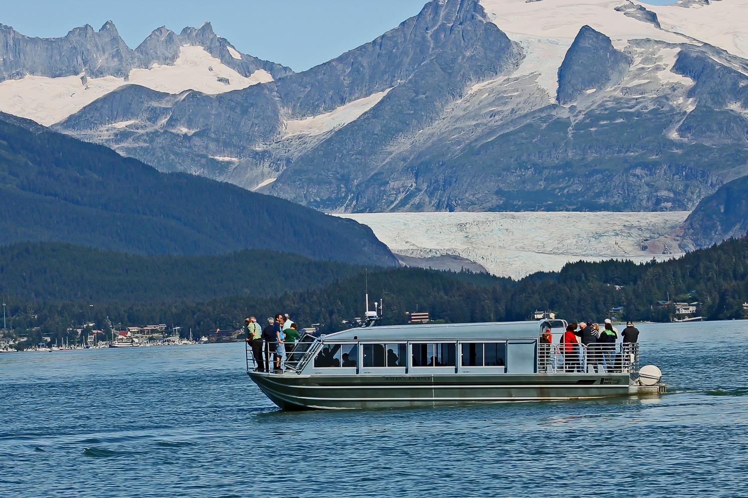
These all leave from downtown, not from the glacier, so the pins sit on the waterfront where you actually board. Everything below this section is free or costs $5; what a tour adds is the whale watching you cannot get from the shore, and a schedule already fitted to the port clock. Prices and ratings read from GetYourGuide on 10 September 2026.
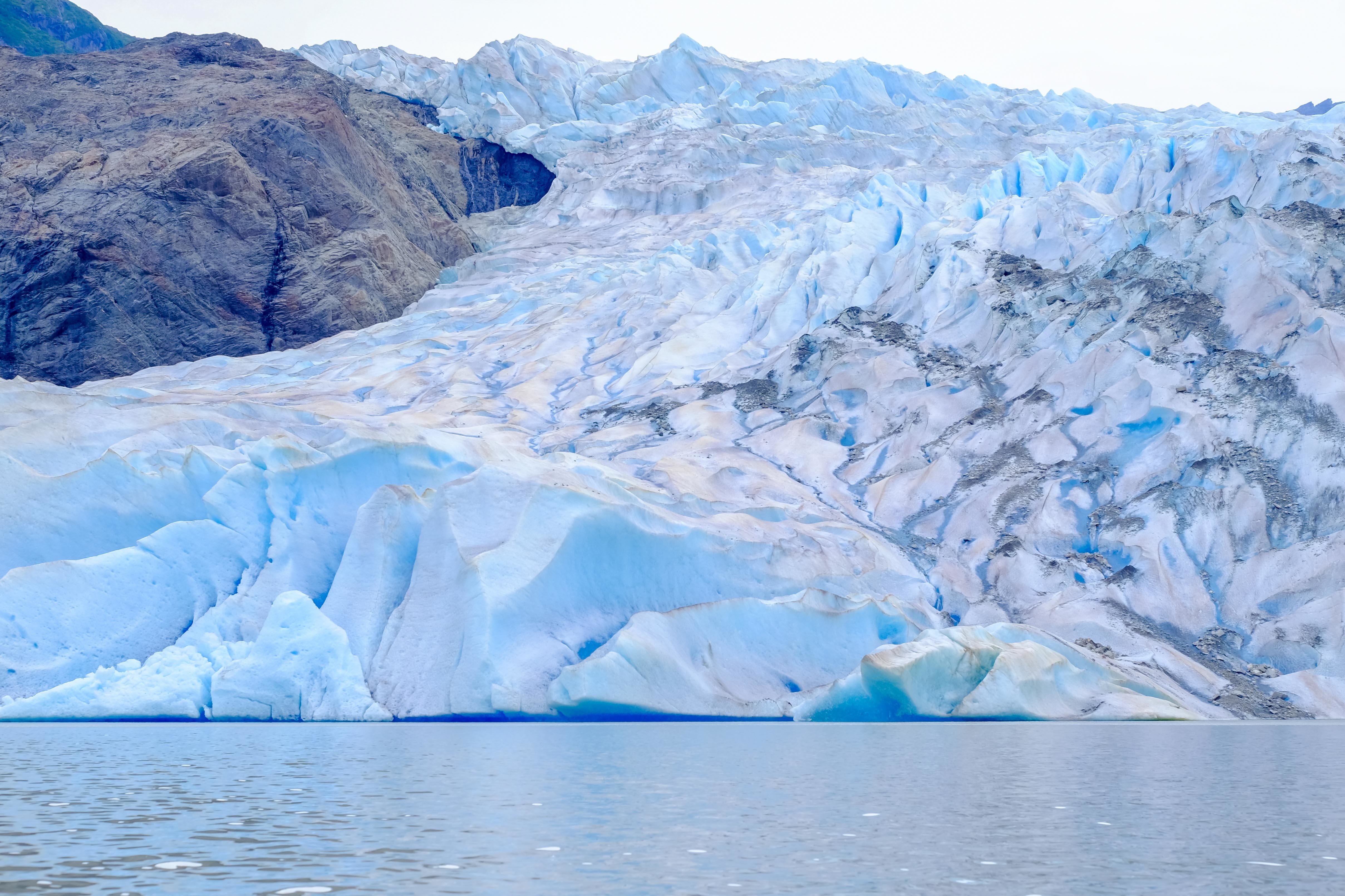
The Forest Service charges to enter the visitor center and the developed area immediately around it, not the recreation area as a whole. Everything in this group is outside the pass boundary, including the walk most people actually came for. Checked against the Tongass fee page on 11 September 2026.
A day pass is $5 for anyone 16 or over, 1 May to 30 September; a season pass is $15 and covers the holder plus one guest. America the Beautiful passes are accepted for the holder plus three. Buy at the machines in the car parks or in the bookstore inside. The pass also covers the restrooms and the bus shelter, which is the detail that catches out anyone planning to do this on the cheap.
Thirteen miles from the cruise berths, about 25 minutes by road. The gap that surprises people is between the public bus stop and the visitor center: Capital Transit does not come into the recreation area.
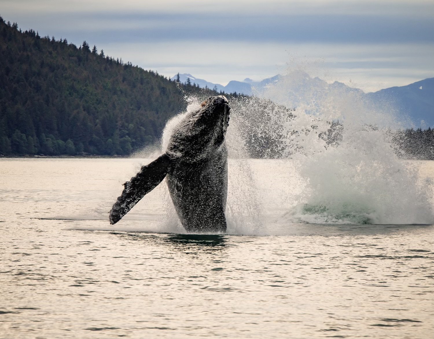
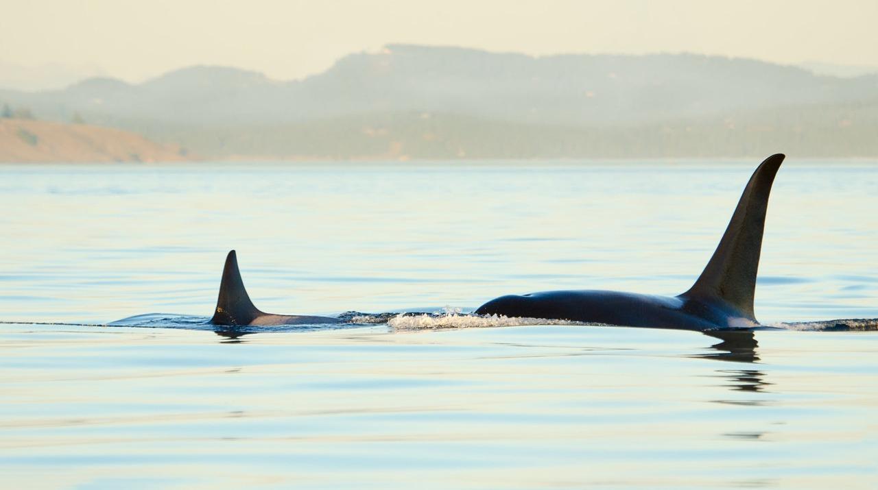
The map shows the walk. It cannot show you a humpback.
Everything above is free or costs $5, and this page says so plainly. The one thing the trail network cannot give you is whales, which is why the combined glacier and whale-watching trips exist. Rated 4.8/5 by 357 guests, free cancellation.
See dates and prices →Planning the rest of your day? how to get there from the port · nugget falls trail · best time to visit · ice caves and glacier hikes · glacier + whale watching
Mendenhall Glacier Map and Trails - Frequently Asked Questions
Which trails need the pass, how long each one takes, and how you get here.
Nugget Falls Trail. It is flat gravel and 2 miles round trip, about an hour and a quarter by the Forest Service's own timing, the glacier is across the water beside you the whole way, and it sits outside the Forest Service fee boundary, so it costs nothing. Photo Point Trail gives the classic postcard framing but is inside the paid area. For the high view looking back down at the ice, East Glacier Trail climbs above the lake and is also free. All three are on the map above.
A day pass is $5 for anyone aged 16 and over, charged 1 May to 30 September; under-16s are free. A season pass is $15 and covers the holder plus one guest, and America the Beautiful interagency passes admit the holder plus three. What the pass buys is the visitor center, the Pavilion, Photo Point, Steep Creek, and the restrooms and bus shelter. It is not needed for the car parks, Nugget Falls Trail, East Glacier, West Glacier, the Trail of Time area trails, Moraine Ecology or the Dredge Lakes. A proposal to raise the day fee to $15 went to public comment in mid-2026 and had not reached the fee page as of 11 September 2026.
Yes, and most independent visitors do. The recreation area is public land and you can arrive by city bus, shuttle, taxi or car without booking anything. The catch is the return leg rather than the entry: two of the six ways out have no published last departure at all. The transport guide sets out all six with the return time for each.
Yes. Nugget Falls Trail starts near the visitor center and runs 2 miles round trip on flat gravel to the foot of the waterfall, which the Forest Service times at about an hour and a quarter, right beside the glacier face. It is the single most rewarding thing you can do on foot here, and it needs no pass.
No. The visitor center is about 13 miles from the cruise berths, which is not a walk. Even the public bus only closes part of that gap: it stops at Dredge Lake Road, 1.5 miles short, leaving a 30-minute walk on a paved path. Realistically you need the shuttle, a taxi, a car or a tour, all compared in the transport guide.
Yes. The Glacier Express, the blue bus run by M & M Tours of Juneau, goes directly from the downtown cruise ship terminal to the visitor center for $79 per adult and $49 per child, with the glacier pass included. It takes about three hours in total, roughly two of them yours at the glacier. Neither shuttle operator publishes a fixed last departure, so ask your driver on the way out.
It depends which trail, and none of them puts you on the ice. Nugget Falls is 2 miles round trip on the flat, about an hour and a quarter. East Glacier Trail is a genuine uphill hike of a couple of hours. West Glacier Trail is longer again and is reached from Montana Creek Road rather than the visitor center car park. Walking onto the glacier is a guided activity with equipment, not a hike you do off the trail network.
Two hours is the working figure, and it is what the commercial shuttles allocate. That covers the visitor center, Photo Point, and the walk out to Nugget Falls and back without hurrying. If you are coming by public bus, add the two hours of bus time and the hour of walking: Capital Transit's own estimate for the round trip from downtown is at least four to five hours.
Southeast Alaska is temperate rainforest, so waterproofs matter more than sun cream. A rain jacket, shoes you do not mind getting wet on the gravel path, and a warm layer even in July. Wind comes off the ice across the lake, so the glacier face is reliably colder than the car park.
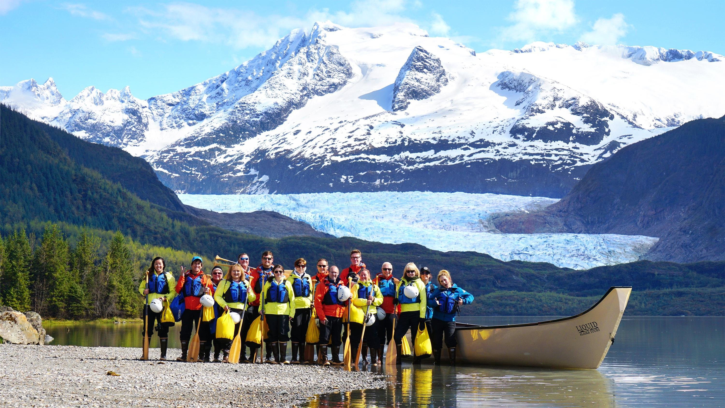
Not from the trail network, and not unaccompanied. The ice is reached across the lake and the trails stop at viewpoints. Getting onto the glacier itself means a guided trek or a helicopter landing, sold as a separate excursion. From the ground the closest you legitimately get is the shore at Nugget Falls.
Still have questions? Email us at info@mendenhallglaciertour.com